
Free to Freemium: The Path (and Impetus)


Hello Map Creators, 


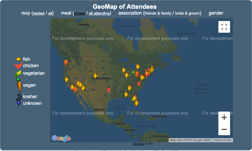
Since 2007, we have provided you the ability to quickly create, view, share, and update an unlimited number of maps at no cost. What was created around a simple use case for a friend’s wedding (see below) turned into a useful solution for a user base of now over 115,000. Huzzah! 


Over the past 12 years, we’ve received donations from happy users that have covered a small portion of our costs. More than anything though, each donation made us smile and reinforced our desire to continue supporting the solution year over year. Thanks to all of you that have kept us motivated! 

This model was sustainable until Google, out of nowhere, announced a new pricing policy for developers (like us) using their mapping services. In the spring of 2018, Google started charging heavily for maps usage - they essentially raised prices by 1400%. 

For a year, we continued to self-fund the solution, but recently reached a point where the model became unsustainable. To that end, we’ve decided to add a paid plan to our service. 

MapAList will remain 100% free of charge for users that have fewer than 10 maps and fewer than 100 views per map. For those exceeding these limits, we have created a simple monthly paid plan allowing for the creation of an unlimited number of maps, and up 2000 map views across all maps in your account per month. 

We realize that some users will require more than 2000 map views per map per month and are actively working on a solution. Please feel free to shoot us a note in the meantime if you can’t wait. 

Thank you for your support over the years and for sticking with us as things evolve - we sincerely appreciate it, 

Your MapAList Team

Popular posts from this blog

New Video Tutorials (Updated)

We decided to experiment and create some video tutorials in the hope they might be more effective instruction and better at getting the word out about what features exist in mapalist and how to utilize them. We hope you find value in the first few we put out. Creating your First Map Using Custom Icons Starting from an Excel Sheet Editing your Maps, Post-Creation Syncing your Map and Google Sheet

Taking your Maps to the Next Level

As our user count has steadily grown, the MapAList support team has received an increasing number of calls and e-mails from users looking to do more with our solution. Over 80% of the feature requests we’ve received are, well, features that already exist within the base MapAList solution. What does that tell us? What it tells me is that we need to do a better job articulating the feature set MapAList has to offer out of the box...and that’s exactly what we’re going to do. For the next several weeks we will be publishing installments of Taking Your Maps to the Next Level – a series of short tutorials meant to enable you, the user, to get more out of MapAList. Each installment will focus on a single feature, show examples of both spreadsheets and maps, and provide step by step instructions to make it work. Here’s the current plan… 01/02/09 – Basic Grouping to Show Differentiation 01/09/09 – Advanced Grouping to Show Differentiation 01/16/09 – Adding Hyperlinks to Your Map Points 01/23/0...

Valid Geocode Range

Per mapbox , here is some insight on geocode range (that I always have to google to remember): Latitude and longitude  are a pair of numbers ( coordinates ) used to describe a position on the plane of a  geographic coordinate system . The numbers are in decimal degrees format and range from -90 to 90 for latitude and -180 to 180 for longitude. For example, Washington DC has a latitude  38.8951  and longitude  -77.0364 .